News Story
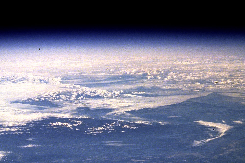
Measuring Snow From Space
This article first appeared in CuttingEdge, published by the Office of the Chief Technologist at NASA’s Goddard Space Flight Center.
A new simulation tool will help identify the best combination of satellite sensors to detect snow and measure its water content from space.
Snow’s water content, or snow water equivalent (SWE), is a “holy grail for many hydrologists,” said Bart Forman, a University of Maryland (UMD) civil and environmental engineering professor and principal investigator who is developing the tool with Earth Science Technology Office, or ESTO, funding.
Forman’s team, which includes Goddard remote-sensing and modeling researcher Sujay Kumar and ESTO Technical Manager Jacqueline Le Moigne, is developing a tool that uses machine learning—the process of training algorithms to detect patterns in data—and physical models to simulate the performance of different satellite sensors to pinpoint how best to combine them to measure SWE and get the most “scientific bang for your buck,” said Forman, who is Deborah J. Goodings Professor in Engineering for Global Sustainability at UMD's A. James Clark School of Engineering.
 Why Measure?
This data is critical to people around the globe. Those living in the western U.S., for example, get 70-90% of their drinking water from snow and its availability can affect hydroelectric generation and agricultural production, Forman said.
“We would love to have a global map of SWE,” which can be obtained from Earth-orbiting satellites, said Edward Kim, a Goddard research scientist who has helped organize SnowEx, a NASA-led campaign that gathers snow data with aircraft instruments. However, there is no single technique that can measure SWE globally because snow looks different depending on where it lands, Kim said.
It often forms a deeper layer in forests, where it’s sheltered from the Sun, but maintains a shallower profile in the tundra and prairie, where it’s exposed to wind and higher temperatures. Snow also changes its shape as it falls to the surface and then continues to change in its resting place. Its shape can specify which sensor is able to observe it, Kim said.
“The simulation tool will show us the kinds of tools we need to be able to make intelligent choices about how to combine sensors,” Kim said.
A Tale of Different Sensors
Given the fact that one technique can’t effectively gather snow data to calculate SWE across the globe, the simulation tool includes data gathered by three different types of microwave-sensitive instruments: radiometer, radar, and lidar. So far, only radiometers and radar instruments have flown in space as part of a snow-centric observing mission to measure snow.
Scientists have limited lidar snow-specific measurements to aircraft campaigns, including NASA’s SnowEx. However, Forman’s team can use this airborne information to hypothesize a range of errors that might result from using lidar onboard a satellite, and then use the tool to run experiments with those assumptions, he said.
The simulation also uses a constellation simulator called TAT-C that Le Moigne and her team at Goddard and other institutions developed. “TAT-C helps us locate where the satellite would be and what part of the Earth it would see,” Forman said.
Once all the sensors are together in the simulation tool, the team is able to run different experiments that include different scenarios, like putting a satellite into one orbit versus another or having a satellite look at a wide swath of Earth versus a narrow one. With this suite of experiments, they can gauge the “scientific bang” based on a common benchmark scenario. “We’re really trying to systematically narrow down the pool of options we might want to consider,” Forman said.
“In order to do all this, you have to use supercomputers,” Forman said, adding he’s using the Discover Supercomputer at the NASA Center for Climate Simulation at Goddard and the Deepthought2 High- Performance Computing cluster at the University of Maryland.
As sensors evolve and satellites change, the tool’s creators plan to stay in the game. The team intends to continue working on the tool and tweak it so that it represents the current mix of satellites in orbit, Forman said. The tool “will continue to ask questions of what should be next and how we should be planning in 20 years or more out into the future,” Forman said.
Published December 2, 2019
Related Stories
Stories / February 9, 2022
Manocha Receives 2022 Verisk AI Faculty Research Award
Stories / February 28, 2020
Clark School Faculty Receive CAREER Awards
Stories / January 29, 2020
Fuge Receives NSF CAREER Award
Stories / December 5, 2019
Discoveries from NASA's Parker Solar Probe published in Nature
Stories / September 17, 2019
Advancing Healthcare through Robotics and Machine Learning
Stories / April 9, 2019
Machine Learning's Translational Medicine
Stories / July 1, 2026
Establish Research Partnerships at the MATRIX Open House

Stories / June 25, 2026
Grand Challenges 2.0: Engineers Partner to Unlock Solutions

Stories / June 25, 2026
Aircraft May Refuel Themselves - With Help From AI

Stories / May 13, 2026
Capstone Design Expo 2026: Students Solve for Maryland & Beyond